Objectives
- Provide greater visibility into the activities performed by field staff while improving efficiency and providing accountability
- Enable organizations to understand with great certainty where, when and for how long field activities are conducted
Description
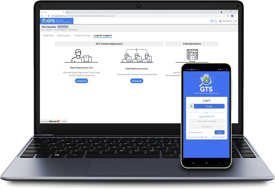
The Geospatial Tracking System (GTS) consists of an Android mobile application to collect data in the field and a Cloud-based central server with Dashboard to manage activities, display data on maps and permit downloading of datasets for further analysis.
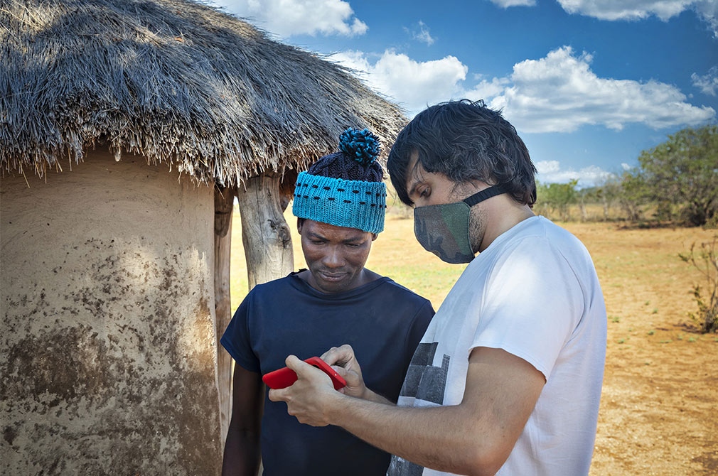
The GTS mobile phone application automatically records time-stamped GPS coordinates (tracks) at regular intervals and associates them with both field staff and mobile devices. The mobile application uploads tracks automatically to the GTS Dashboard once the phone is turned on, requiring minimal user training.
The GTS system will also allow field staff to collect contextual data in mobile forms (ODK-Collect) on the Android device for automated upload to the GTS Dashboard along with the tracking data. Each organization can manage the configuration of their field activities though the GTS web administrative feature.
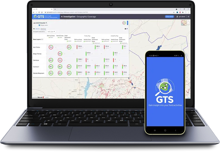
Organizations can visualize their data on a map in the GTS dashboard and download the data in different formats for further analysis. The GTS system can also automatically compute geographic coverage performance indicators to measure field activity reach and the proportion of visited vs targeted areas.
152+
284K+
10M+

Geographic deployment
17 organizations across: Cameroon, Central African Republic, Democratic Republic of the Congo, Nigeria, Republic of the Congo, Guinea, Madagascar, Côte d’Ivoire and Comoros
Context
Organizations in the public health, humanitarian and development sectors often have little or no visibility into the work performed by their staff during field activities.
In the worst-case scenario, organizations rely on declarative reporting by field staff using pen and paper which is intensive, slow and error prone. Declarative reporting provides no evidence that field activities were in fact conducted at the right locations, time, and duration.
In the best-case scenario, organizations rely on mobile technologies to obtain evidence that field activities were conducted correctly. These tools are also declarative, may require significant training and may return limited or incorrect geospatial information.
Organizations can lose trust in data and field staff when presented with conflicting information without any credible means of accountability.


