Objectives
- Estimate resource requirements to conduct public health activities based on geospatial data
- Optimize location and estimate length of stay at service delivery points
Description
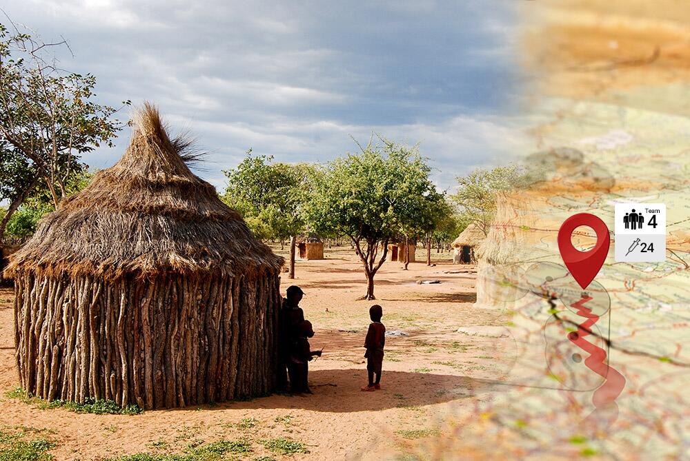
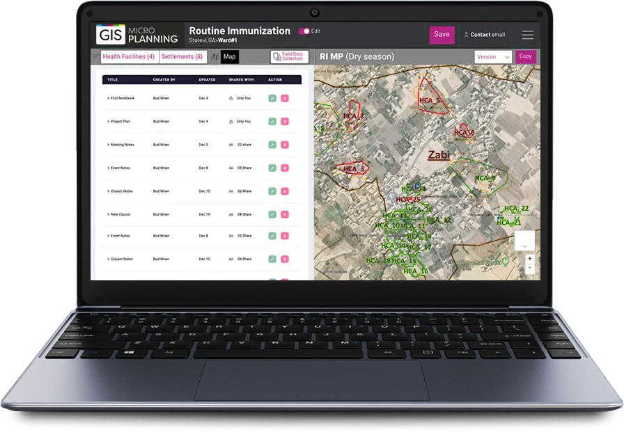
The Microplanning Toolkit takes settlement polygons and GIS-based population estimates to determine the optimal location and resource requirements for setting up intervention posts. For example: In order to reach 90% of children between the age of 0-8 years, where should vaccination posts be placed and for how much time?
Users provide as input
- The maximum number of days of the activity
- The maximum distance a service recipient should walk to reach a post
- The estimated daily service delivery capacity for each post
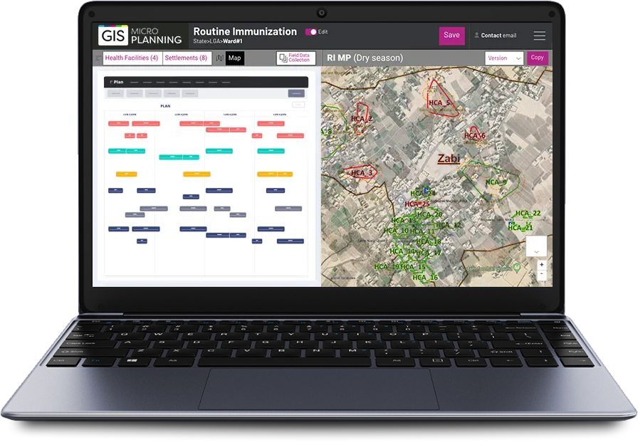
The tool estimates the number of posts required to support the activity, where each post should be located and for how long the post should remain to reach the objectives. The resulting microplan can be used to inform the requirements for materials, assets and manpower to execute the plan.
7K+
15
3

Geographic deployment
The tool has been used in Nigeria to support the introduction of the Inactivated Polio Vaccine (IPV) as well as the recently conducted Measles campaigns
Context
Microplans include instructions for delivering public health services, developed based on geospatial and population data, and organized into components (e.g. vaccination activities). Microplans improve performance in the field and are one of the tools that health workers use to ensure that health services reach every community.
Often referred to as ‘bottom-up planning’, a microplan starts with analysis of data at the ground level and is used to identify priority communities, to address barriers, and to develop workplans with solutions. Although many tools have been developed over time to facilitate the elaboration of microplans, the process to create microplans remains empirical and tedious.


