
Our Work
Technology agnostic and deployed all over the world, our work represents targeted solutions which solve intractable problems to make a positive public health impact.
Reach everyone by planning health services with digital, field-driven microplans
Rapid Population Estimates allows you to quickly get a sense of population distribution, using building footprints generated from satellite imagery
Remotely assess settlement habitation with machine learning
Leveraging existing field data to promote polio program accountability
The Polio Information System analyses the requirements and assists the implementation of a global repository for Polio information related to cases and vaccination campaigns.
Supporting the quality assurance and performance evaluation of Polio laboratories
Identify country at-risk areas for Measles and Rubella virus spread or outbreak.
Geospatial intelligence to support public health interventions
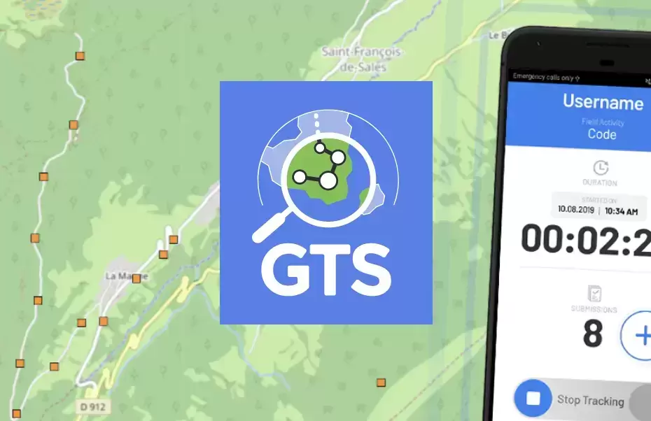
Supporting accountability with reliable and timely insight into field activities
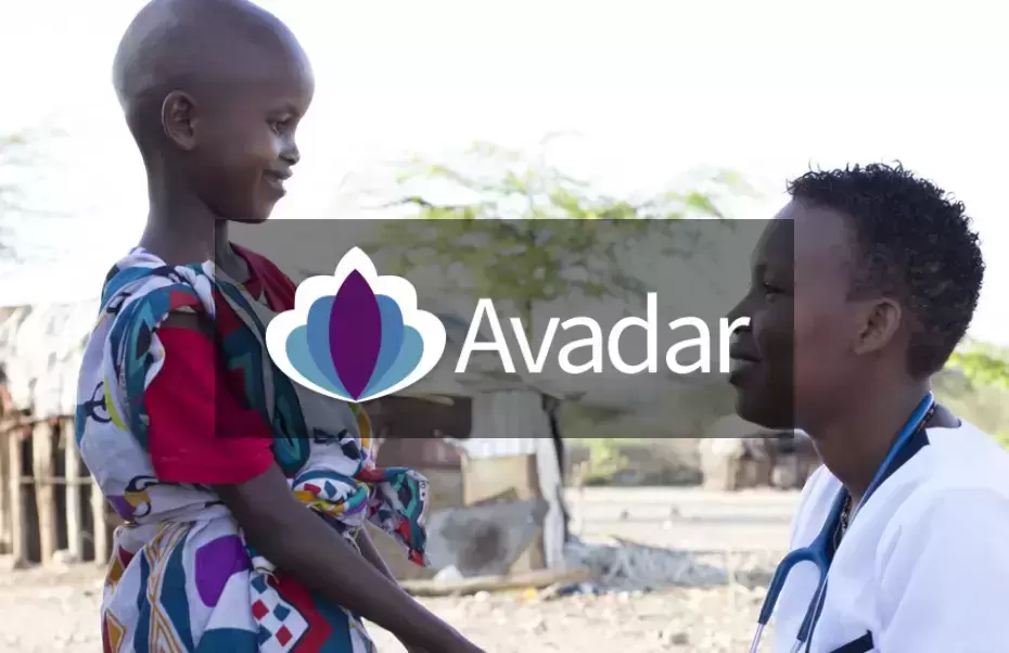
Improving disease surveillance by engaging community participants

Easily process, harmonize and integrate data
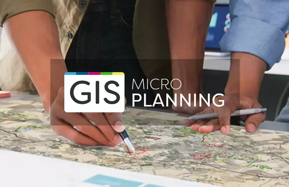
Improve field activities through algorithmic planning
Computing watersheds to determine the catchment population of environmental sampling sites for disease surveillance

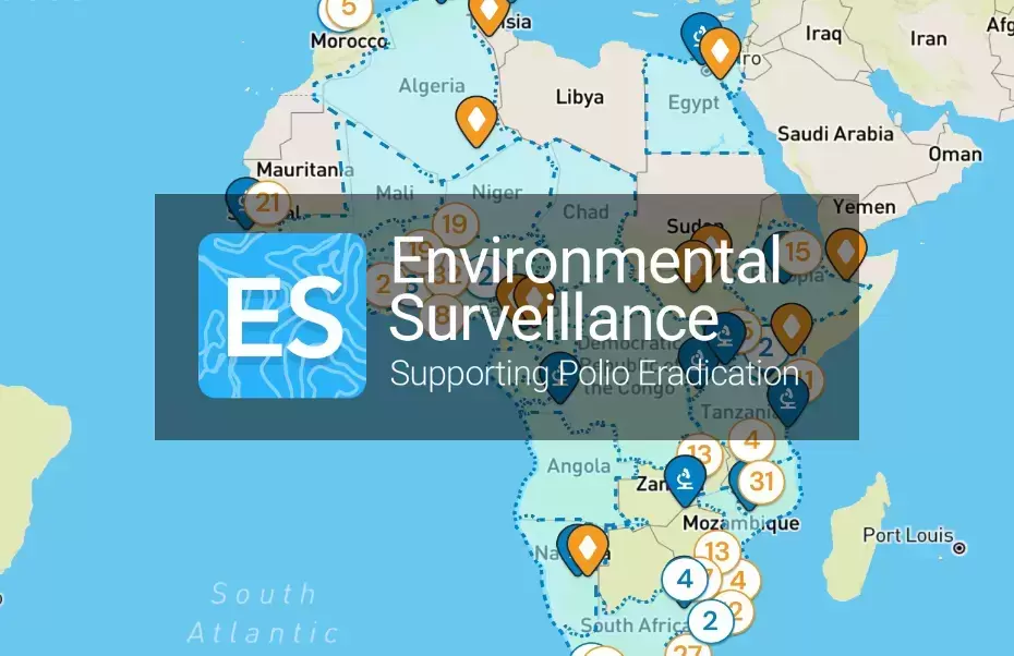
An integrated platform for the surveillance of polio
Enabling governments to maintain and disseminate a definitive record of their geospatial data
Let's get in touch

© 2025 Novel-T an ISO 9001:2015 certified company. All Rights Reserved.