Objectives
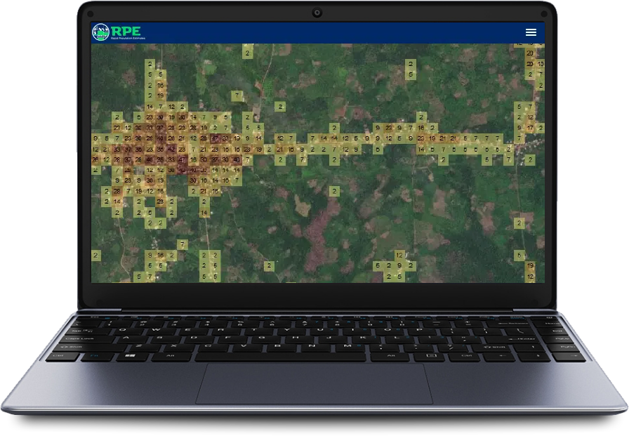
- Represent official population estimates in 100-meter resolution geospatial layers
- Create new estimates which are extrapolated from more recent, targeted demographic survey data
- Rapidly refresh estimates as new data becomes available to support public health planning
Description
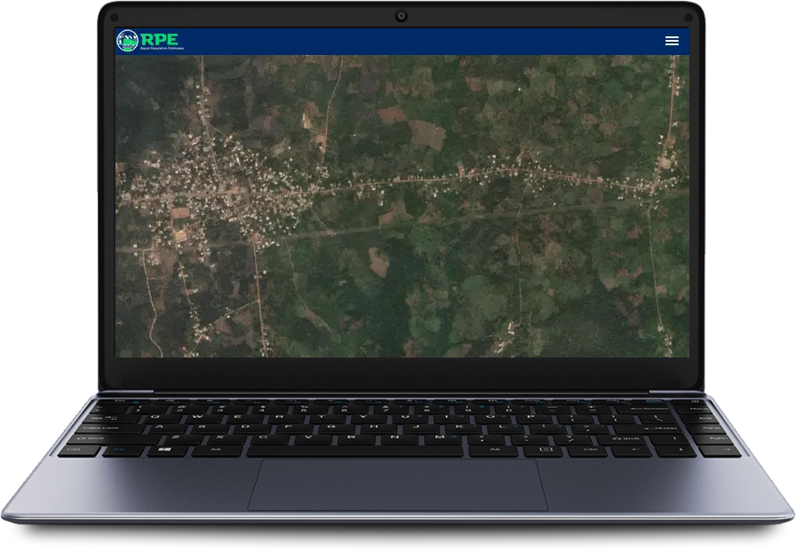
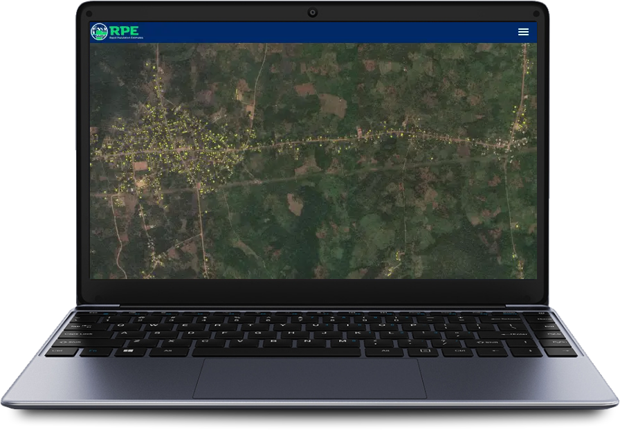
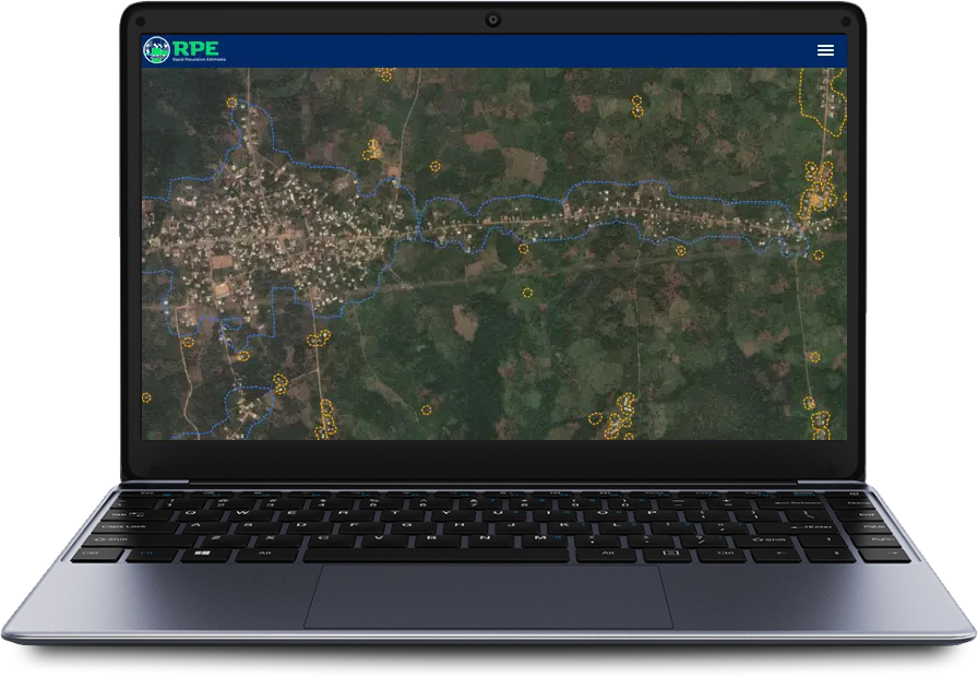
High-resolution satellite imagery and recent advances in machine learning algorithms make it possible to identify buildings remotely, classify them into settlement types, and use them with available demographic survey data to rapidly create straightforward population estimates useful for early planning. Public health officials can use the resulting layers in any GIS-enabled system.
The resulting population estimates are a collection of GeoTIFF raster files and point shape files for total population and children under 5 years old. The population rasters use the WorldPop grid alignment.
13
Countries
100
Meter Resolution
10
Days to new RPE


Geographic deployment
Benin, Cameroon, Chad, Democratic Republic of the Congo, Ethiopia, Liberia, Ivory Coast, Mali, Nigeria, Pakistan, Republic of the Congo, Togo, Zambia
Context
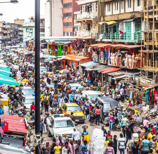
Understanding the number of people living in a given geographic area is crucial for planning public health interventions. For example, inaccurate estimates of target populations for a vaccination program can result in resource shortage, waste of supplies or even campaign failure.
Conducting a full census is time consuming and logistically difficult, especially in rural and sparsely populated or conflict affected areas. As a result, public health interventions may rely on population estimates projected from incomplete and outdated census data.
Recent demographic surveys conducted for specific interventions might be more up-to-date, but are limited to specific geographic areas. The challenge is to use all recently available data to improve a population estimate for the larger region.