Objectives
- Provide better situational awareness for the polio program in Nigeria
- Improve humanitarian response and planning for vaccination interventions in Borno
- Save resources and time by avoiding activities in uninhabited areas
- Use automation to dramatically reduce the amount of man hours required to determine the habitation status of settlements
Description
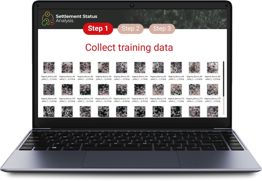
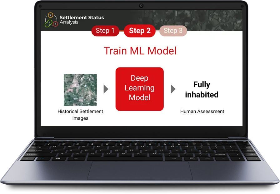
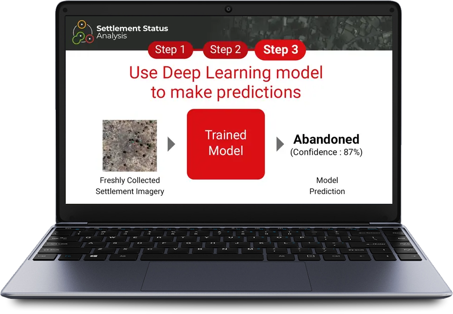
Using human observations of satellite imagery, a deep learning model can be trained to detect settlement status with a high degree of confidence. The Settlement Status Analysis classifier developed for the Lake Chad area is a combination of Convolutional Neural Networks (CNN). CNN models are ideal for evaluating images due to their capacity to learn what is important for evaluating an image and apply it to different cases.
The classifier CNN was trained on roughly 9,000 images for settlements paired with human observations, resulting in an accuracy rate of over 95% for predicting whether a settlement is inhabited or uninhabited. The model is excellent for assessing which settlements are inhabited and delivering a short list of those settlements (around 5%) which require human evaluation.
This model has been used successfully for regularly assessing settlement status for the Lake Chad area, since 2018.
95%
3
4

Geographic deployment
Nigeria, Chad, Cameroon
Context
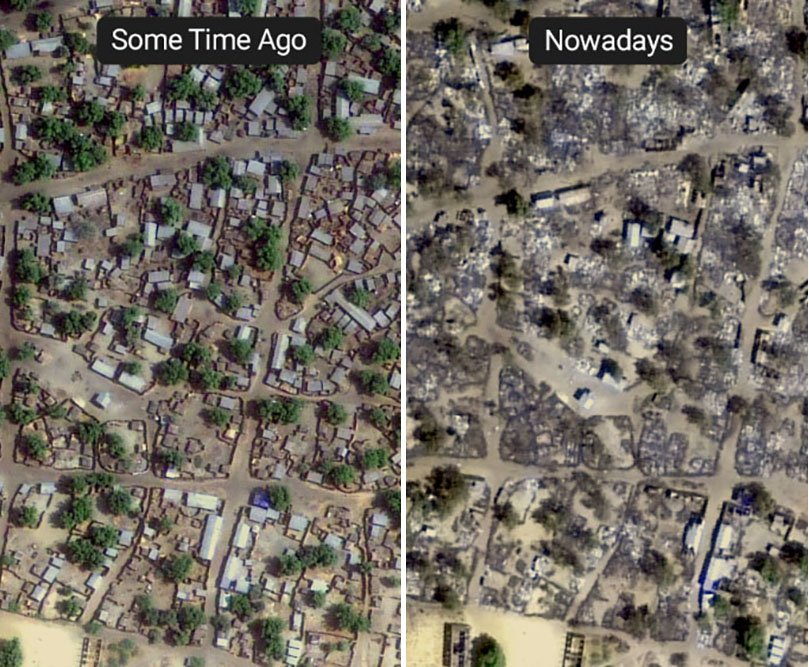
It is vital to know whether people are living in a place before planning public health interventions there – where time and supplies may be lost if field staff are visiting uninhabited settlements. Settlements might be abandoned or destroyed over time when resources or security are threatened. In some countries, settlements change frequently enough to warrant regular assessment of their status to support public health activities.
Since 2016, status for settlements in the conflict area of Borno State, Nigeria has been regularly reviewed to support polio vaccination activities. Images of around 18,000 settlements were manually examined between 2016-2017 and classified as inhabited, abandoned, or destroyed.
Ongoing manual analysis and updates to the data would require hundreds of man hours every year. However, the resulting rich data set provided an opportunity to train a machine learning model and automate the classification task.


