Introducing:
Our geospatial AI solution for building detection from satellite imagery.
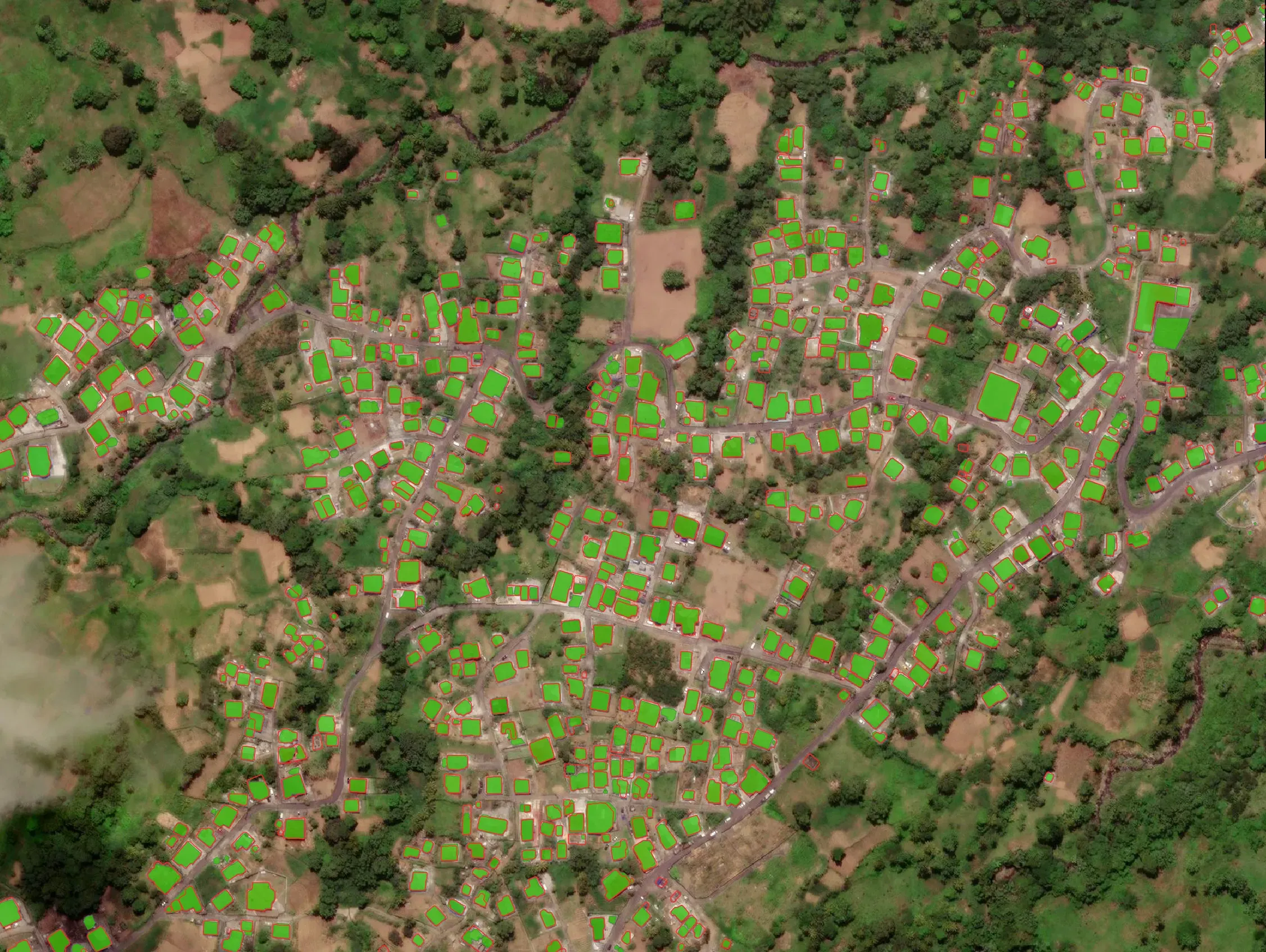
We’re excited to share an update on our geospatial AI solution for building detection from satellite imagery. Our end-to-end pipeline combines proven deep learning techniques with our own innovations in post-processing and rapid deployment.
A distinctive approach: * Advanced Post-Processing: Sophisticated hole filling and adaptive thresholding that delivers cleaner, more accurate building footprints * Rapid Adaptability: Fine-tuning capabilities on 55,000 image chips within a single day, enabling quick customization for new regions and building types The solution addresses a critical challenge in regions where infrastructure data is volatile and often outdated.
By automating the extraction process, we ensure planners have access to current, accurate building locations for applications ranging from population estimation to emergency response planning. As demand for up-to-date geospatial intelligence continues to grow across humanitarian and development sectors, we’re excited to see how this technology can improve decision-making when it matters most.
Learn more: https://lnkd.in/eXPdDmvJ