
GIS Day
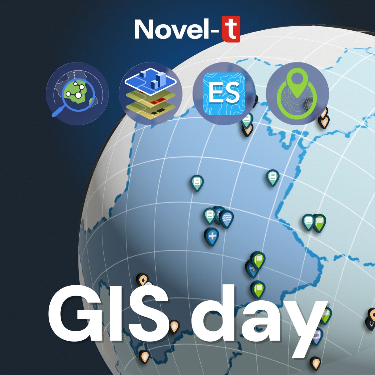
Happy GIS Day! On this #GISDay, we’re excited to showcase how our custom geospatial solutions drive innovation beyond traditional boundaries (that is not a GIS pun!):
🔹 Geospatial Tracking System (GTS) – A real-time field monitoring tool designed for seamless data collection, tracking, and analysis. GTS ensures precision and accountability.
👉 Explore GTS: https://lnkd.in/erGjuEBs
🔹Feature Extraction – Transforming your imagery into structured geospatial data to support urban planning, disaster risk assessment, or land-use analysis. Our advanced models can extract critical features—such as buildings—with high accuracy.
👉 Learn about Feature Extraction: https://lnkd.in/eXPdDmvJ
🔹Environmental Site Catalog (ES) – A GIS-powered platform for modeling watersheds, optimizing sampling sites, and estimating population impacts.
👉 Discover ES: https://lnkd.in/eRq8bm6N
🔹GeoPoDe – A global geospatial data repository offering harmonized datasets (settlement boundaries, population estimates, administrative layers) to support planning, research, and policy-making. Trusted by governments and NGOs worldwide.
👉 Visit GeoPoDe: https://lnkd.in/exhNwS-r
How are you leveraging GIS in your work? Let’s connect to explore how geospatial innovation can transform your projects!