Mapping Sewage
Mapping the Invisible: Using AI to Reconstruct Sewerage Networks from Remote Sensing
Can AI replace months of manual sewerage surveys? UVA is pioneering automated network mapping for environmental surveillance, and we’re partnering on a challenge that spans from satellite pixels to street-level pipes.
THE CHALLENGE Environmental monitoring of wastewater relies on accurate network maps to determine sampling locations and calculate catchment areas. The traditional approach – manual field surveys and digitization – is time-intensive and expensive. Can AI accelerate this process and eliminate much of the manual labor?
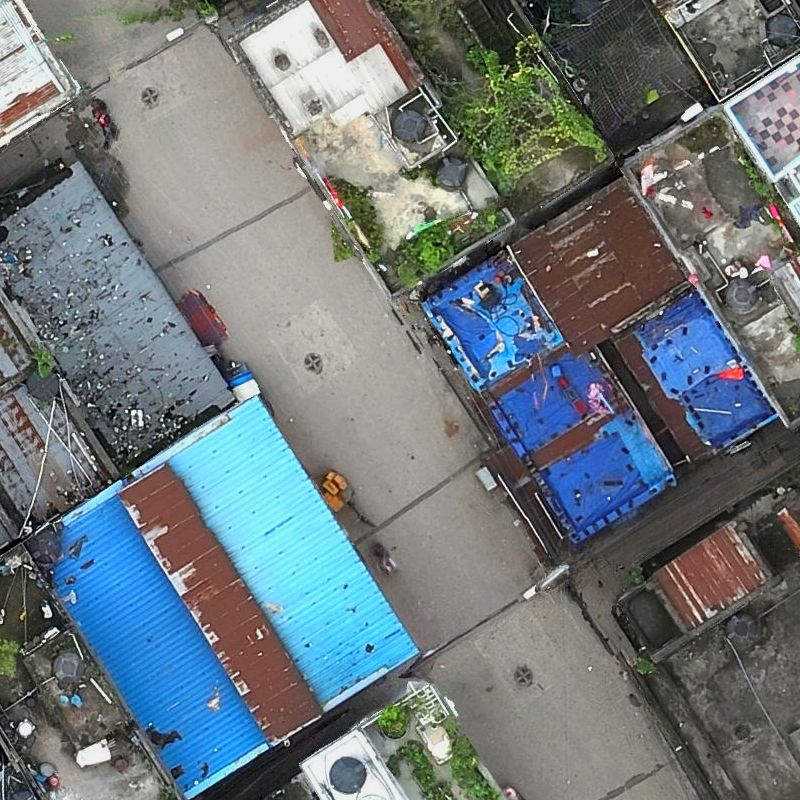
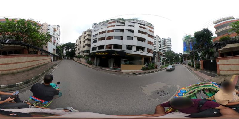
OUR MULTI-MODAL APPROACH Working alongside field teams from UVA, icddr,b and PLACE who coordinated imagery acquisition in Dhaka, we developed an end-to-end pipeline combining satellite imagery, aerial imagery (drone orthophotos), and street-view imagery.
The methodology unfolds in three phases:
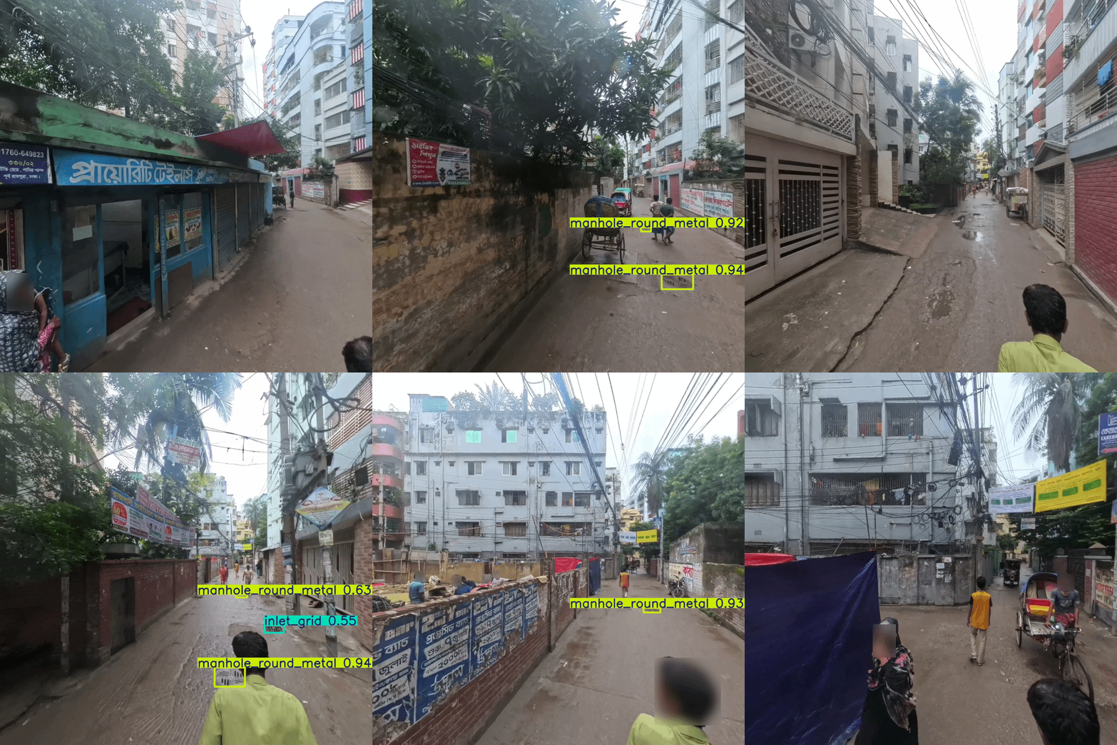
PHASE 1: FEATURE DETECTION Small infrastructure (manholes, drains, sampling sites) is invisible in satellite imagery but detectable in aerial/street-view images. We trained deep learning models separately for each modality.
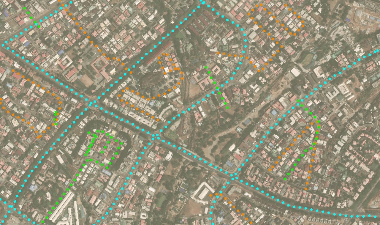
PHASE 2: NETWORK RECONSTRUCTION Detected features are converted into an undirected graph, solving geometric connectivity problems to determine which points connect into continuous pipe segments.
PHASE 3: FLOW DIRECTION INFERENCE We explored two approaches: DEM-based: Digital Elevation Models worked reasonably well in Geneva (30m FABDEM, 20cm DEM) but failed in Dhaka – 40-50% of pipes appeared to flow “uphill.” The lesson: flat terrain with subtle elevation changes renders this method unreliable.
Attractor-based: We developed a graph-theory method using known outlets (rivers, treatment plants) as “attractors” to minimize the distance water travels to leave the network.
WHERE WE STAND We’ve validated direction inference using ground-truth networks from multiple Dhaka regions, achieving 70-99% accuracy depending on configuration. However, these tests used known topology – we’ve only just begun processing our first region end-to-end. The real validation of extracted network accuracy is still ahead of us.
KEY TAKEAWAYS Satellite imagery alone is insufficient. Parameter regimes matter – terrain and resolution determine which methods work. Even attractors require ground knowledge – sewage doesn’t always flow to the nearest water body. The topology problem remains challenging.
This is work-in-progress. Individual components work, but end-to-end validation is needed. If you’re working on similar problems, we’d welcome your insights – what metrics should we use to evaluate reconstructed networks? We’ve started exploring Average Path Length Similarity (APLS).
Huge credit to University of Virginia leading this initiative, icddr,b conducting field validation, and PLACE coordinating imagery acquisition. The path from pixels to pipes is longer than we’d like, but we’re making progress.