Objectives
- Promote the dissemination and use of geospatial data including settlement polygons and names, GIS-based population estimates, administrative and health boundaries and other points of interest
- Promote the use of geospatial data in planning and monitoring interventions
Description
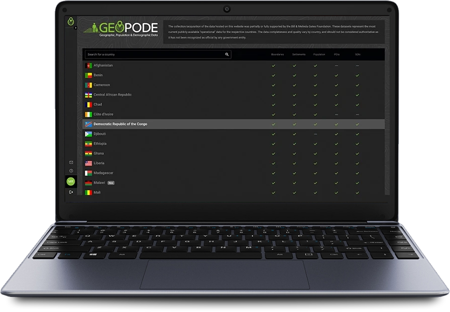
GeoPoDe is a public web data repository for geospatial datasets available by country. The platform allows public health officials and partner organizations to visualise geospatial data on an interactive map and download the data in multiple formats.
All datasets contained in GeoPode are available to non-profit or humanitarian applications and are “operational” in nature. The datasets do not constitute authoritative, government-sanctioned reference data.
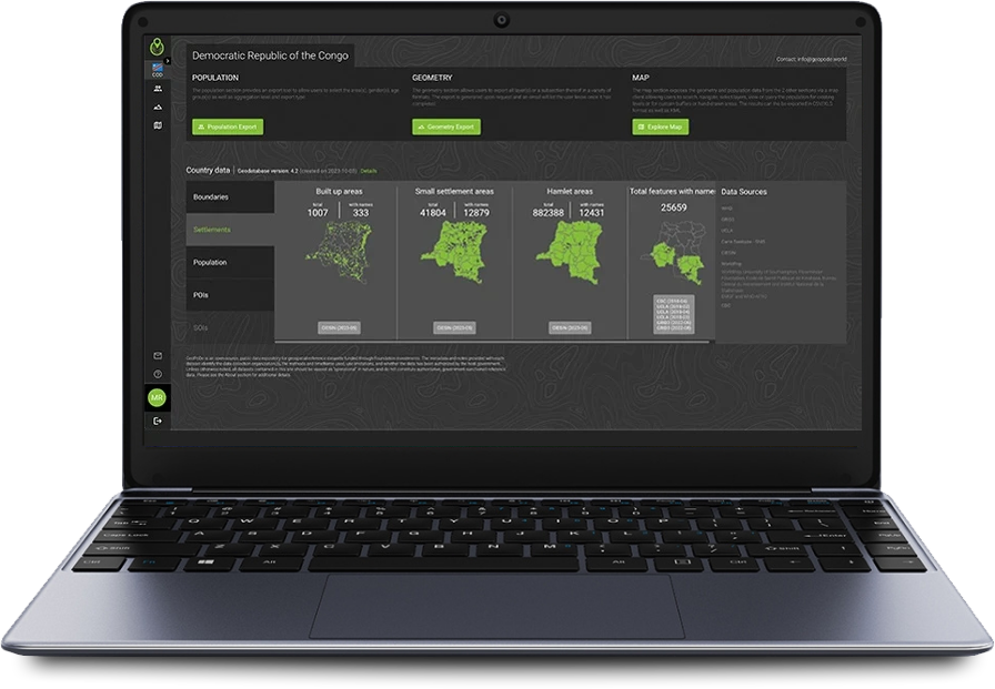
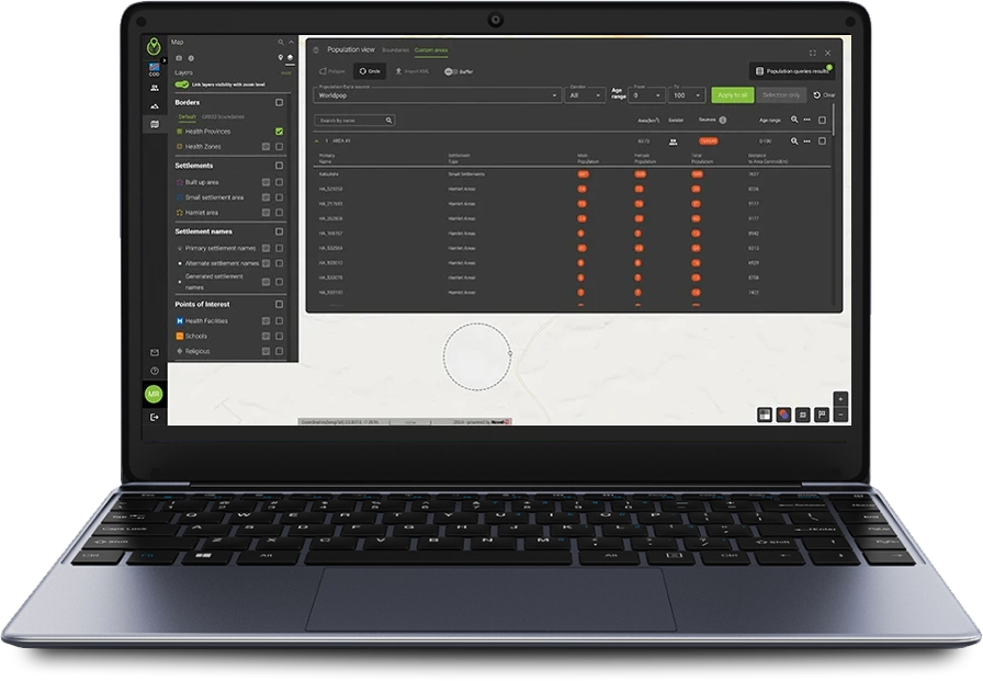
Users can select any layer datasets on the interactive map. A graphic tool allows users to draw polygons on the map and get population estimates for the delineated area. The platform includes factsheets for each country which describe the datasets bundled together. Data can be downloaded in a variety of formats for advanced analysis.
All data disseminated through the platform come from various validated sources. When a new dataset is received or an existing one is updated, it is processed by a set of geospatial database management tools in order to be curated and harmonized before being published.
300
23
400

Geographic deployment
Afghanistan, Benin, Cameroon, Central African Republic, Chad, Côte d’Ivoire, Democratic Republic of the Congo, Djibouti, Ethiopia, Ghana, Liberia, Mali, Niger, Nigeria, Northern Somalia, Republic of the Congo, Sierra Leone, Togo, Zambia
Context
Public health officials must have detailed, local knowledge to orchestrate effective interventions. Typically they need to know where health facilities are located, how many people live in a defined area and where the relevant boundaries or roads are in order to effectively use their resources during activities. Organizations can monitor against geospatial boundaries to pinpoint exactly where there are service delivery gaps or poor performance.
Geospatial information exists for most countries, but often in different sites and at different levels within public health organizations. The data must be combined, harmonized, curated, and made accessible to users before it can be useful in the planning process and inform decisions across multiple programmes.


